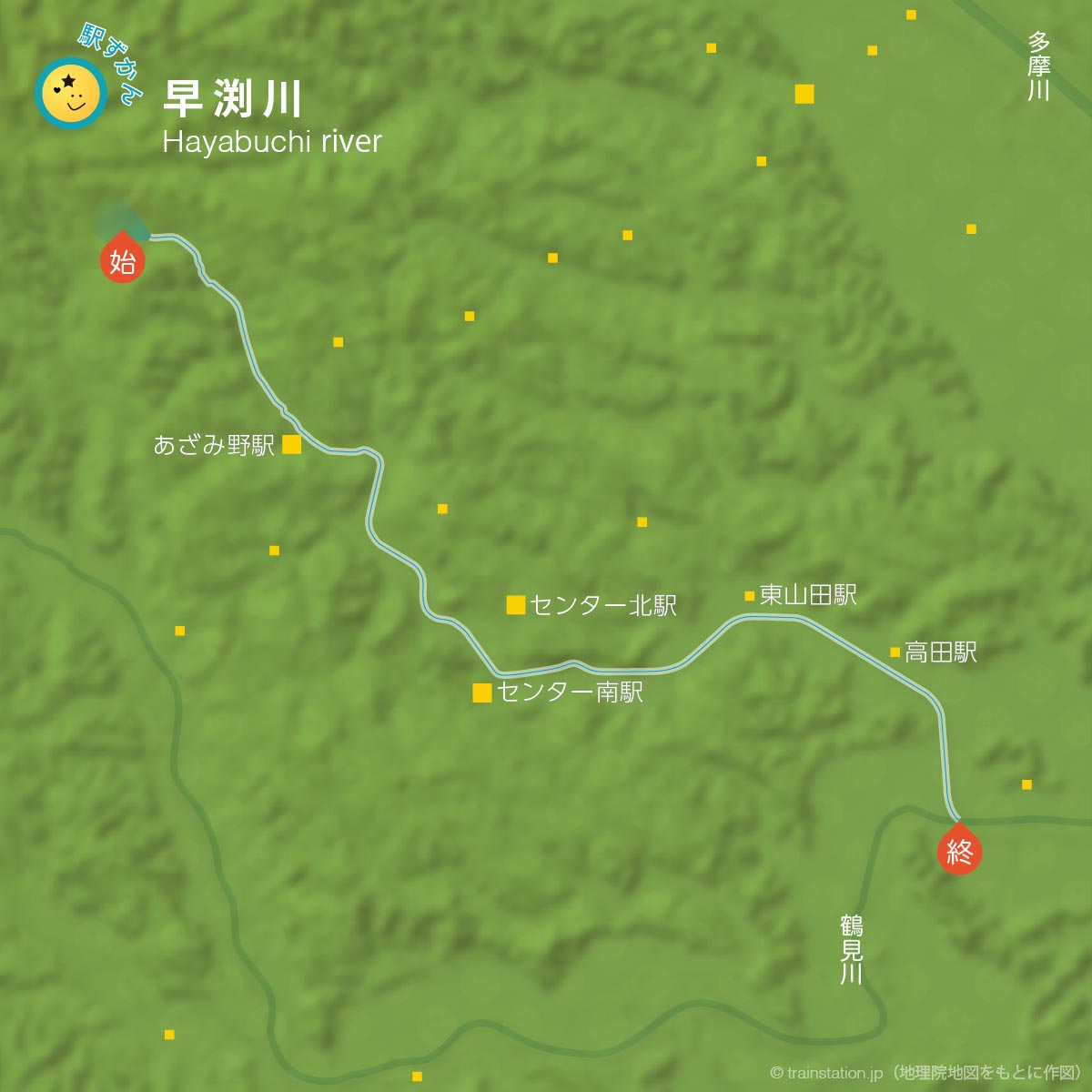
早渕川は、横浜市青葉区から港北区の鶴見川まで流れる一級河川。河川法では「早淵川」とブチの漢字が異なります。
- 早渕川
- 全長13.7kmの鶴見川の支流で、川幅は中流でおよそ6〜10m。43本の橋が架かる。(参考:都筑区 公式サイト)
源流は、横浜市青葉区
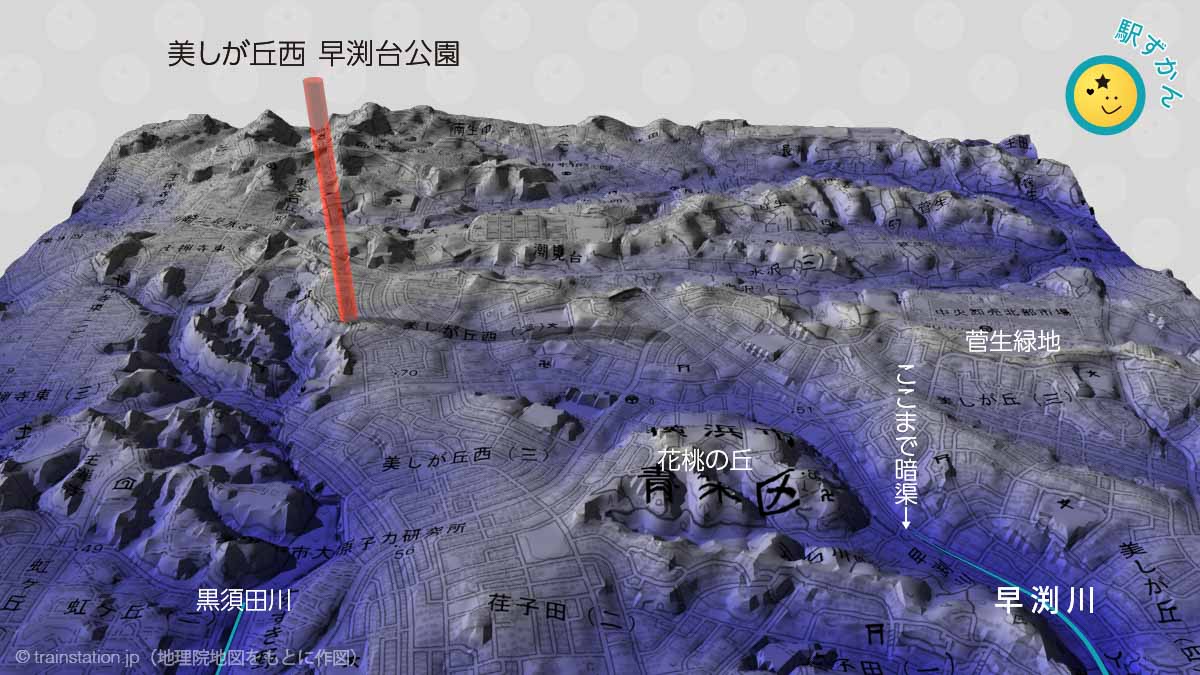
早渕川の原流は、青葉区美しが丘西2丁目。横浜市の北西です。
花桃の丘あたりより上流は暗渠(地下)になっているため、早渕川の「最初に一滴」のような源流スポットは見られません。
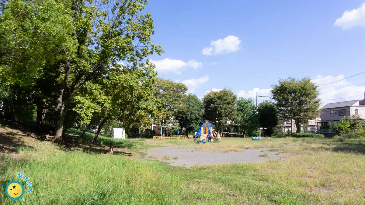
美しが丘西 早渕台公園には次の案内板が立っています。
(略)
川は現在地面の下を流れていますが、ここに川があったことを記憶していくために、「早渕」という川の名前に丘をあらわす「台」の文字を組み合わせ、公園の名前にしました。
美しが丘西早渕台公園 案内板
高低差がわかる原流域の3Dマップ(上図)で確認すると、早渕台公園より西はすすき野へ低くなり、黒須田川へ流れることがわかります。
なお、掲載マップは国土地理院による地理院地図をもとに作図しました。

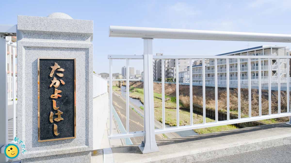
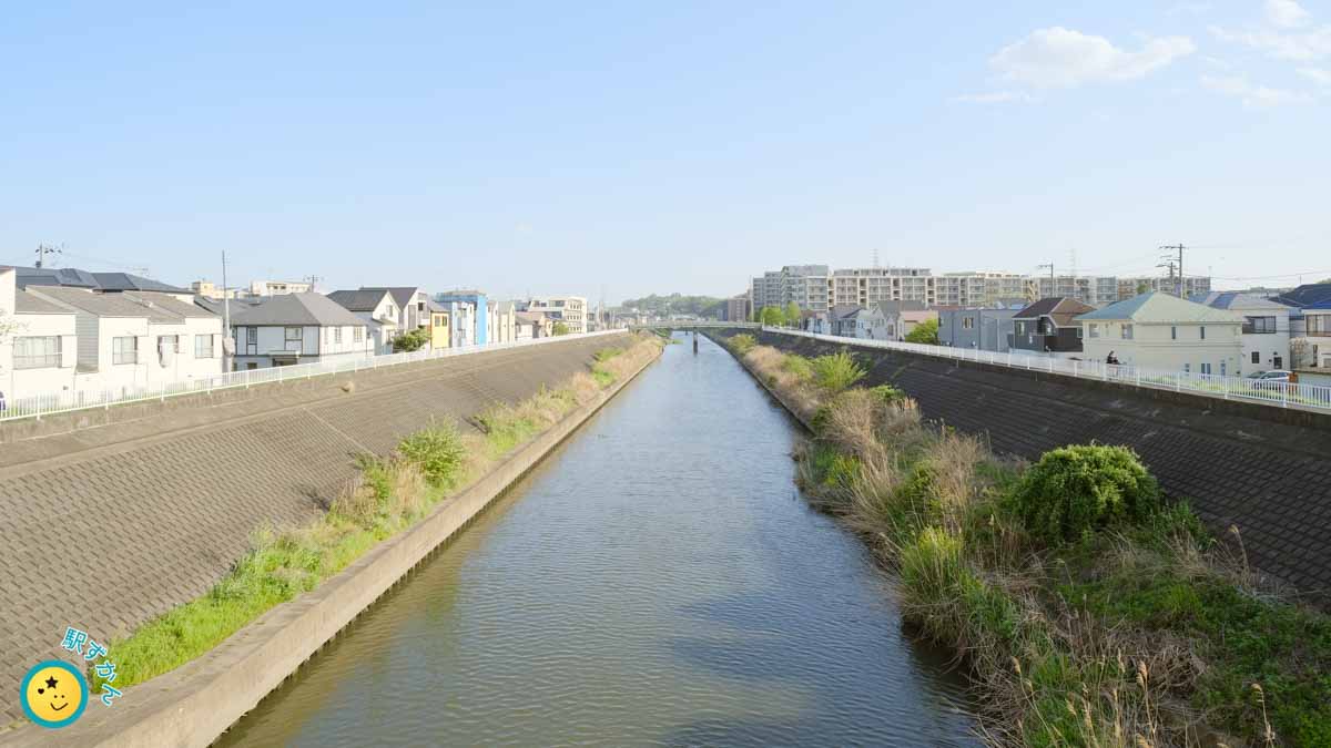
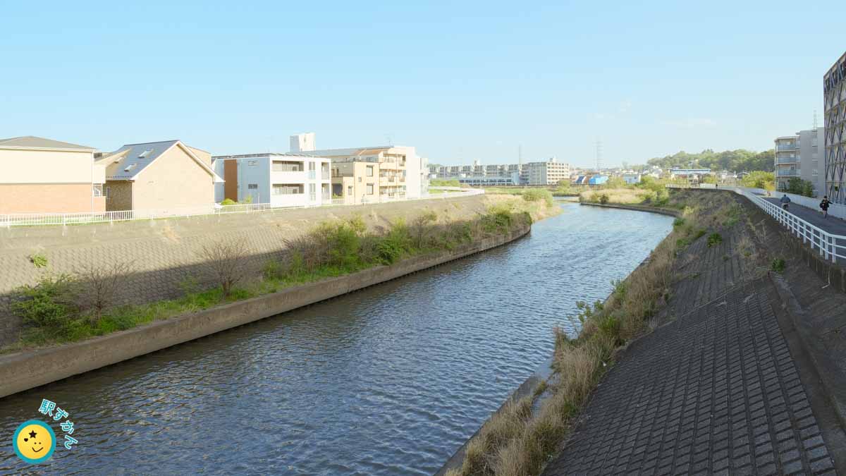
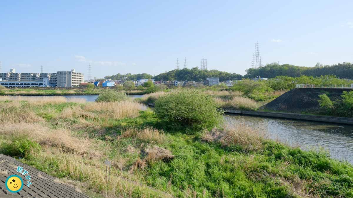
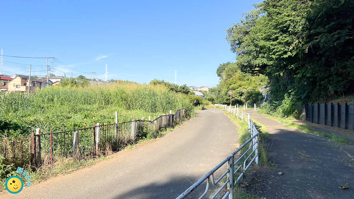
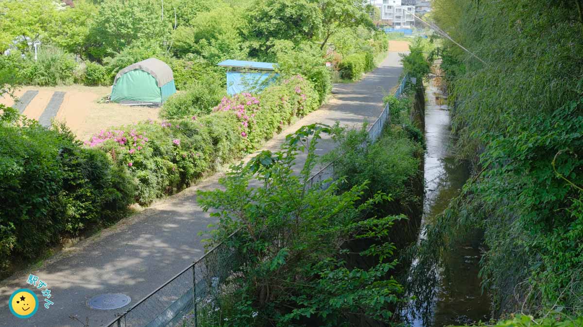
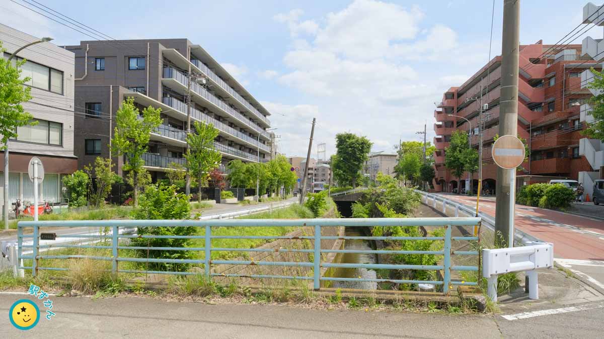
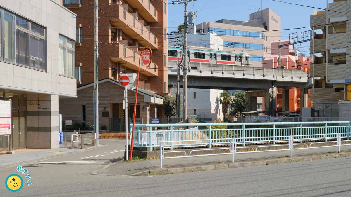
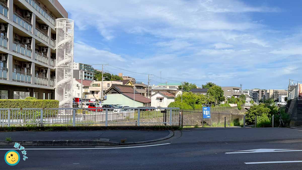
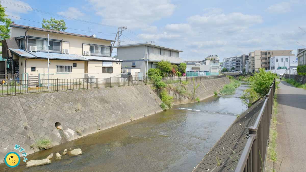
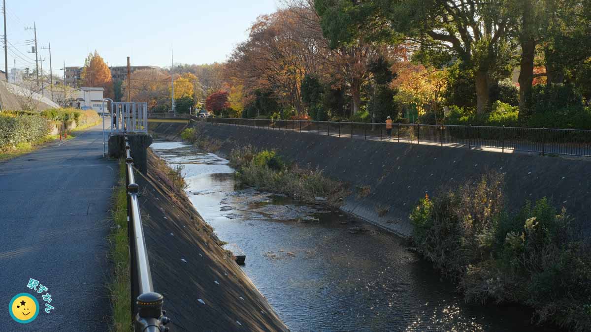
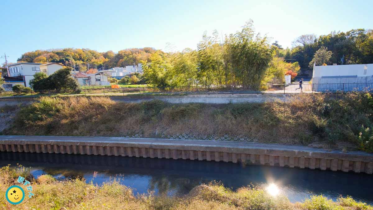
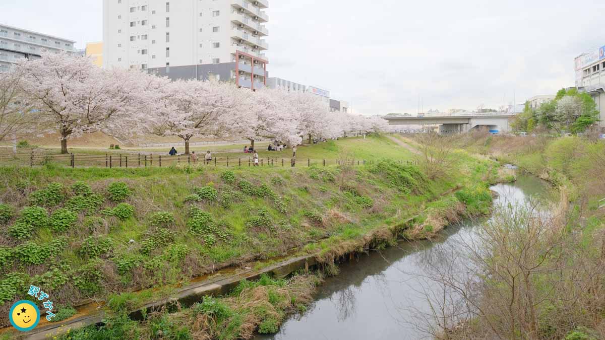
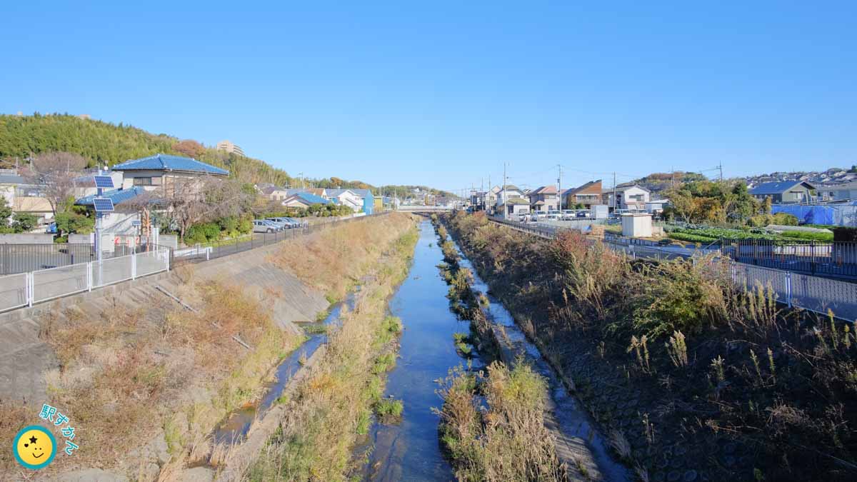
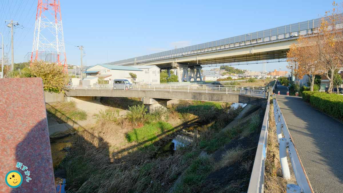
源流から鶴見川合流点までの写真
早渕川の源流域から鶴見川合流点まで写真で紹介します。
上流から写真を並べます。キャプションで触れていない写真は、下流・鶴見川方面です。
青葉区
都筑区
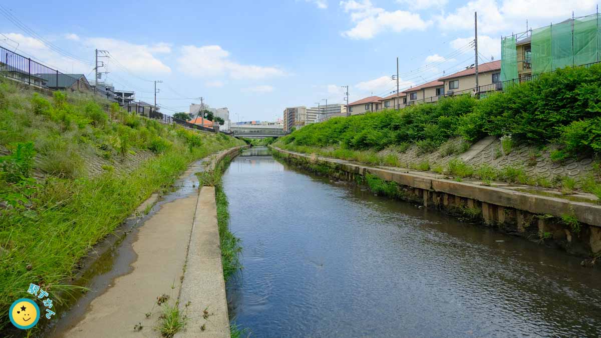
港北区